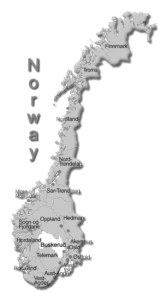
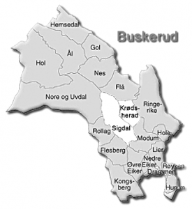
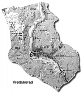
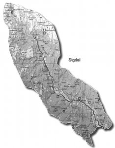
Interactive Norway Map Service by Statens Kartverk (i Norsk) is a very detailed, interactive online map website.
Opplysningen 1881 is another interactive online map website that has very detailed satellite photos – easy to view farms and buildings from above. (click on Foto or Hybrid)
FINN Kart – yet another excellent interactive online map website that has very detailed satellite photos – easy to view farms and buildings from above. Type the farm name in the box and click on “søk”. (you can switch among Kart (map) or Flyfoto (satellite view) or Hybrid (both)
Norgeskart Comprehensive mapping of farms throughout Norway.


